In the second of Space Intelligence’s Ecosystem Insight webinar series, we move from Africa to Southeast Asia: Cambodia.
Sadly, the deforestation rate in Cambodia is one of the highest in the world, with illegal and opportunistic logging putting forest reserves under great threat.
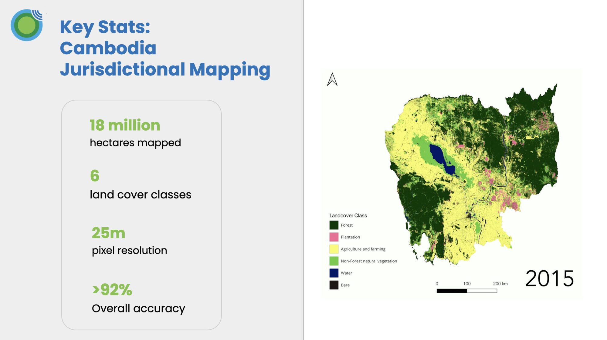
In this 20-minute webinar, we’ll use Space Intelligence’s countrywide dataset of Cambodia to:
- Show the reality of the Cambodian landscape and drivers of land use change
- Highlight how one of the operating REDD+ projects in the country is making measurable impact
- Demonstrate how climate patterns like El Niño, which hit Cambodia in 2015, can create significant challenges in producing accurate insights about land cover change and deforestation rates in the country.
Fill in your details to access the webinar recording
Speakers
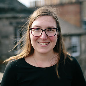
Dr Alexis Moyer
Customer Solutions Lead
Dr. Alexis Moyer is a remote sensing scientist with expertise in combining satellite and field-based data to provide innovative solutions to complex environmental problems. She has a PhD in Environmental Sciences from the University of Edinburgh, where she used satellite data to explore the impact of climate change in the Arctic. As the Customer Solutions Lead at Space Intelligence, Alexis explores ways satellite data can be used to provide insight and support for nature-based solutions and nature-positive financial decision-making.
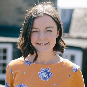
Dr Sophie Flack-Prain
Reporting and Insights Lead
Sophie is the reporting and insights lead at Space Intelligence, working to link VCU standards and methodologies to high quality science and nature mapping data. Until recently, she worked as a senior mapping scientist, leading the generation of jurisdictional scale landcover maps. She has extensive experience harnessing remote sensing data and machine learning approaches.
Register for other webinars in this series
On-Demand
