31 Mar 2026
Murray Collins
Space Intelligence Powers Due Diligence for Symbiosis Coalition
26 Mar 2026
Prof. Ed Mitchard
Introducing GrowthTracker: Early Growth Monitoring for ARR Projects
26 Feb 2026
Snezhanna Markova
Space Intelligence partners with Abatable to Strengthen Scope 3 FLAG Reporting
17 Feb 2026
Prof. Ed Mitchard
Comparing Forest Maps for EUDR Compliance in Brazil: Space Intelligence, JRC and MapBiomas
15 Jan 2026
Snezhanna Markova
IFM Project Screening is here – plus key ARR updates you may have missed
2 Dec 2025
Prof. Ed Mitchard
Why high-integrity carbon projects in Indonesia demand higher quality maps
27 Nov 2025
Snezhanna Markova
Indonesia’s forest carbon opportunity: a view in data (2025)
7 Oct 2025
Snezhanna Markova
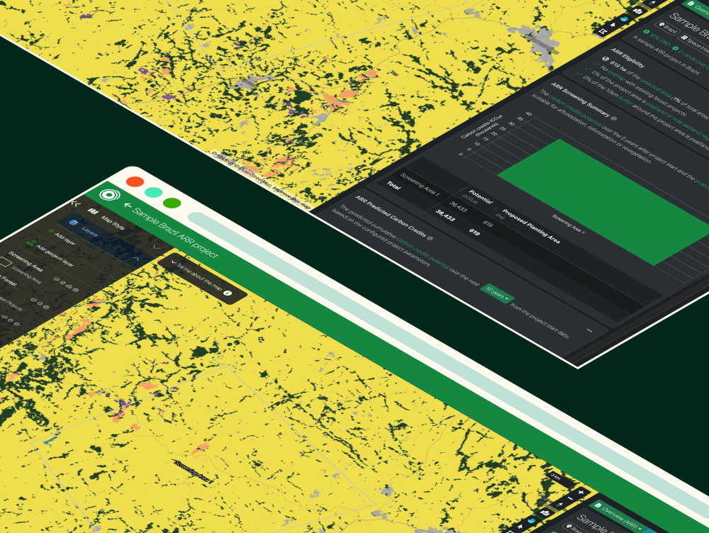
Rapidly screen new ARR opportunities for carbon potential and eligibility
4 Sep 2025
Snezhanna Markova
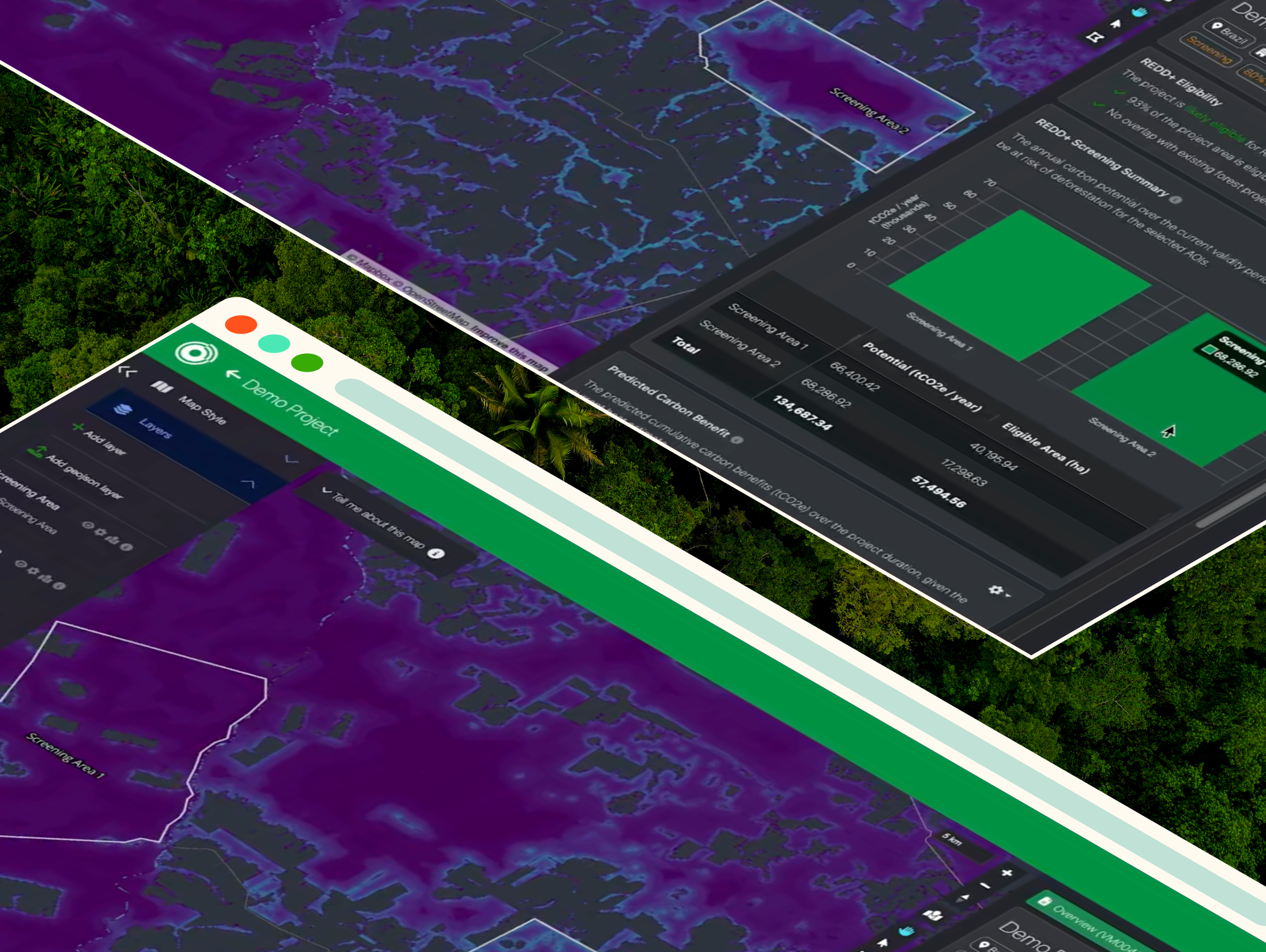
Introducing NbS Project Screening: reliable carbon potential estimates, in minutes